The UELAC St. Lawrence Branch has been given permission, by Edward B. Kipp, to make available his essential resource for Loyalist history in our region: Indexes of the McNiff map of 1786.
As related by him in his report “An Index to the 1786 McNiff Maps of the Townships of Lancaster, Charlottenburgh, Cornwall, Osnabruck, Williamsburgh and Matilda (the Loyalist Maps),” Kipp provides the background to the map:
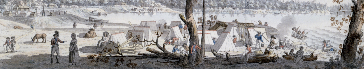
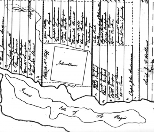
“Patrick McNiff was one of the surveyors who assisted Major Holland of the British Army to survey Eastern Ontario before the Loyalists began to settle it. In early 1784, McNiff surveyed the front of Stormont, Dundas and Glengarry along the St. Lawrence River. The results of this survey were used to allocate the land. Each Loyalist drew a paper which contained the location of a lot. McNiff later prepared maps for Sir John Johnson of the six eastern townships dated November 1, 1786. These maps gave the concession and the lot number along with the name of the owner of each lot.”
Kipp’s background report, described above, is available here.
He has prepared an index of the entire region covered by the McNiff maps, available here. (An index also appeared in Jacob Farrand Pringle’s 1890 history of the region, Lunenburgh or the Old Eastern District, which is available here, but we recommend using Kipp’s version.)
Kipp also divided his main index into township-specific indexes:
- Lancaster (Lake Township)
- Charlottenburgh (Royal Township No. 1)
- Cornwall (Royal Township No. 2)
- Osnabruck (Royal Township No. 3)
- Williamsburgh (Royal Township No. 4)
- Matilda (Royal Township No. 5)
Finally, if you wish to peruse copies of the McNiff maps, scanned versions are available below. Note that in some cases, the maps spill over into the township adjacent to that listed.
Lancaster: Lan13193 Lan21346 T1a21346
Charlottenburgh: T1a13193 T1b13193 T1b21346 T1c21346
Cornwall: T2a13193 T2b13193 T2a21346 T2b21346 T2c21346 T2d21346
Osnabruck: T3a13193 T4a13193 T3a21346 T3b21346