Name: Point Iroquois Cemetery
Location: Carman Road, Iroquois, ON
Confirmed Loyalist Burials:
- Michael Ault (King’s Royal Regiment of New York)
- Nancy Brouse (wife of Michael Ault)
- Alexander Rose (King’s Royal Regiment of New York)
- List of others is forthcoming
Remarks:
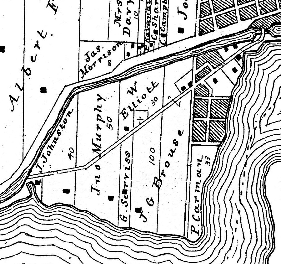
Nestled on the highest headland on the upper St. Lawrence River, Point Iroquois is now an island due to the construction of the Galop Canal in the mid-19th century. Its neighbour, since the late 1950s, is the Iroquois Lock, which is part of the St. Lawrence Seaway system.
The cemetery was founded in 1797 when a Methodist Church was established on a parcel of land owned by John Serviss, Lot 25 in the 1st Concession of Matilda Township, situated in western Dundas County near the Village of Iroquois. The original church, of frame construction, was later replaced by stone structure circa 1830. Approximately two decades later, that church was dismantled due to its isolation after the construction of the Galop Canal.

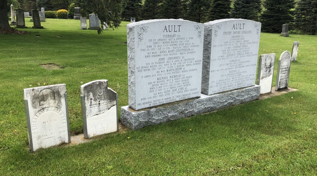
 This cemetery has at least two modern stones that families have erected to honour their Loyalist ancestors. One of these pays homage to the Ault family, in which the original tombstones flank the new one. A photograph of this array of stones is depicted at the top of this page.
The cemetery apparently also has a tombstone whose inscription reads “John de Groat, soldier of 1784 Revolution, died June 23, 1852, aged 87 years.” This curious inscription, and the fellow to whom it relates, requires additional research.
During the War of 1812, Point Iroquois was the site of a small skirmish between a detachment of local Dundas militiamen and a large invading army from the United States. The Americans were subsequently defeated at the Battle of Crysler’s Farm, east of Iroquois.

